The Nile Geoportal provides centralized access to a wide range of hydrological, climatic, and geospatial datasets, enabling data-driven planning, research, and cooperation across the basin. It supports both real-time and historical data access through intuitive tools and standards-compliant infrastructure.
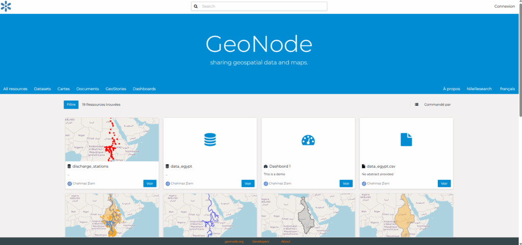
The key objectives of this portal are:
- Centralized access to spatial and time series data for the Nile Basin
- Support for spatial and temporal data infrastructure (SDI/TDI)
- Enhanced regional collaboration through open data sharing and transparency
- Access to both remote open-source data and generated datasets from research projects
What you can access:
- Open Source Data Access (via Remote Sources): Connect directly to external, trusted open data repositories through integrated remote services (e.g., WMS, WFS, APIs).
- Generated datasets from research.
Terms of Use:
Inserer text
Show more +